A circular ride on Anglesey, crossing both bridges to the island and with a swim on its best beach.
Distance: 46 miles
Time: 7 hours (including time for a swim)
Warnings: The sections of road near and across the bridges are very busy at times.
The track down to the beach is quite rough, strong tyres are recommended.
At the bottom of the track from Graianfryn, turn right and ride through Penisarwaun. At the end of the village, turn right at the crossroads, through Waun and then right up the hill for fine high level views. You will drop down to another crossroads, cross the busy A4244 with care and after about a mile you will reach a junction where you turn left then quickly right and very soon left again, passing the Vaynol Arms pub on your left and Pentir church on your right. Soon you will cross a small bridge after which you turn left and ride for a couple of miles then bearing right at the next couple of junctions along these country lanes. There are no signposts along here so careful map reading is advised. Take the next left turning which drops you down to the A4087 road into Bangor. Cross here and then ride steeply up to Penrhos Road where you turn left and then right and join the A55 traffic towards Holyhead for the short but unpleasant crossing of the Britannia Bridge.
Take the Llanfairpwll turning at the end of the bridge and ride through the village, passing the railway station with its famous sign showing the full name of the village: Llanfairpwllgwyngyllgogerychwyrndrobwllllantysiliogogogoch. The station receives more visits by people wishing to be photographed next to the sign than by passengers. You’re on the A5 now, engineered by Thomas Telford but through traffic takes the A55 dual carriageway so it’s not too busy. Soon you will turn left through Llanddaniel Fab. The road becomes narrower and quieter as you ride deeper into rural Anglesey, there are a few unmarked junctions so keep checking the map.
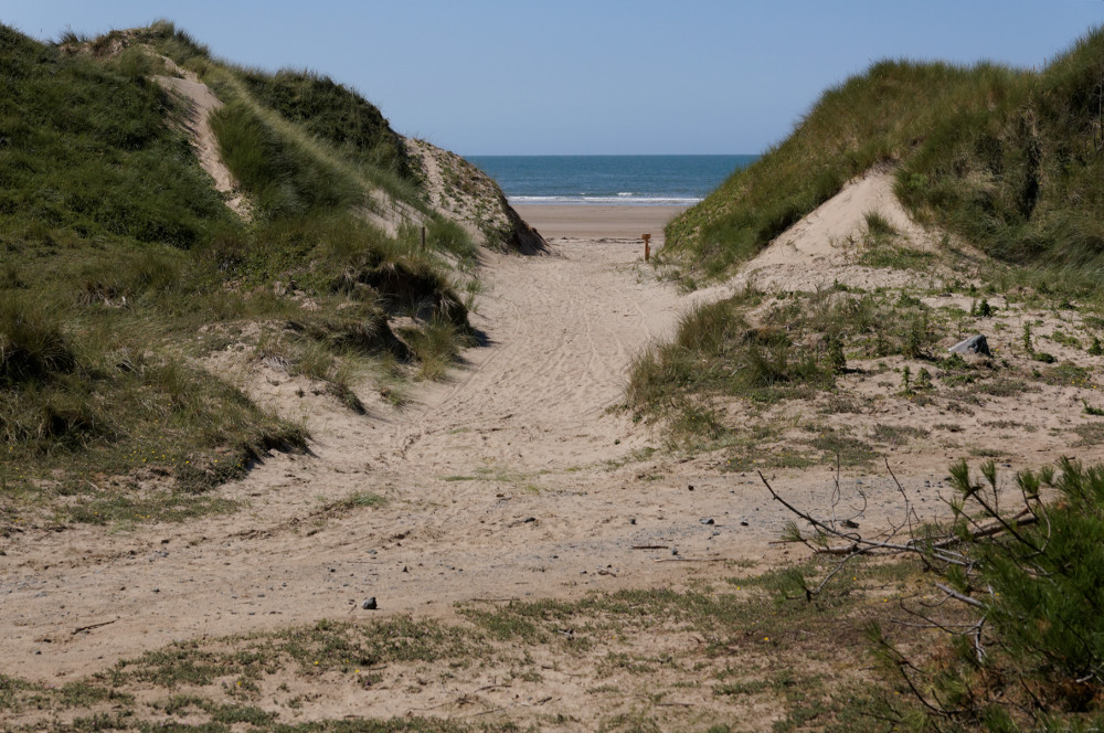
Eventually you reach the A4080, turning right and then at the next corner where the A4080 goes sharply left you go straight on past a vineyard. Bear left as you loop round to join the B4421 into Newborough and right at the junction with the A4080. After a couple of miles, you’ll see a Forestry Commission sign for Llyn Parc, opposite this is a track which you ride down to the beach for a refreshing swim.
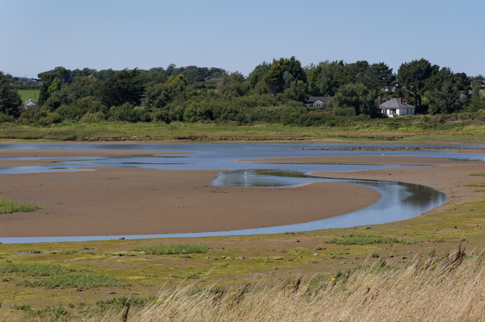
When you’re ready to return to the saddle, ride back up to the road but take the track alongside it a short way to a car park on the left, by which there’s a cycle track alongside the broad marshy estuary of the Afon Cefni, rich in bird life. At the end of the track, cross the road and ride along the lane which runs parallel to the tidal river Cefni, passing a small homely café, on your left, popular with passing cyclists needing to refuel with cake.
The road crosses the river sharply over a bridge, at the end of which you’ll ride along the Lon Las Cefni cycle track on the eastern side of the river, though it is hidden from view by a flood prevention bank. After a couple of miles there’s a cycle path to the right to Pentre Berw, take this and ride through the village to the A5. Turn right here but you’ll soon take a left turn (no signpost) after passing the Holland Arms pub on your right. This is a lovely quiet lane which joins the B5420 to climb up to the village of Penmynydd and down to Menai Bridge village and the bridge after which it is named. The Menai suspension bridge was the first to join Anglesey to mainland Britain, built by Thomas Telford in 1826 as part of his London to Holyhead road, later classified A5. Cycle across and round the roundabout to take the A487 towards Caernarfon but soon you’ll fork left to ride uphill along a narrow road to Penrhos Road, turning right. An overbridge takes you across the A55 dual carriageway and soon you’ll reach the narrow road that you rode up on the outward journey. Drop down this lane and return the same way to Graianfryn.


